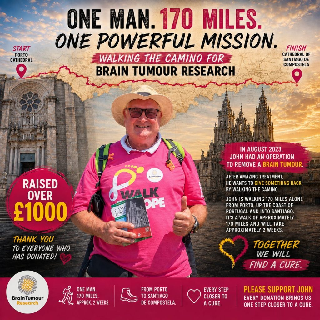
What is the Camino De Santiago? St James was a disciple of Jesus and is buried at this location in the North East of Spain.
Why do it? For some it a pilgrimage for religious reasons. Others do it to challenge themselves, meet lots of interesting people and get exercise.
Why am I doing it? My primary aim is to collect funds for Brain Tumour Research. It’s also a great opportunity to meet new people, see Portugal on foot and of course stay fit. How you can get involved!
Route from Porto to Santiago 280km (174miles)
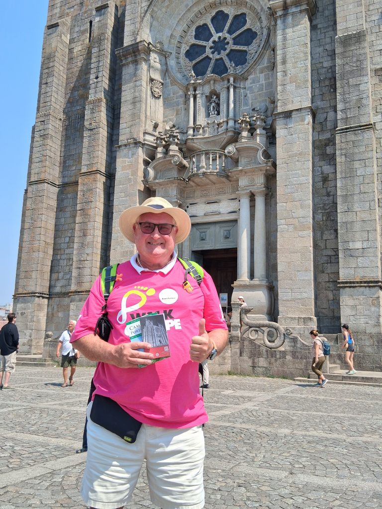
On the 16th August, I flew to Porto, Picked up my Pilgrims Passport from the Cathedral in Porto and checked in to my first hostel – the Lost Inn, Porto. My Camino had started!
Day 1. Took me from Porto to Vilarinho. The weather was really hot and sunny, the early terrain was industrial and urban areas. I stayed in Albergue Casa da Laura. The journey was quiet and the hostel was about half occupied. After a dinner in a close restaruant, Laura produced a bottle of Port and everyone got around a table and chatted.

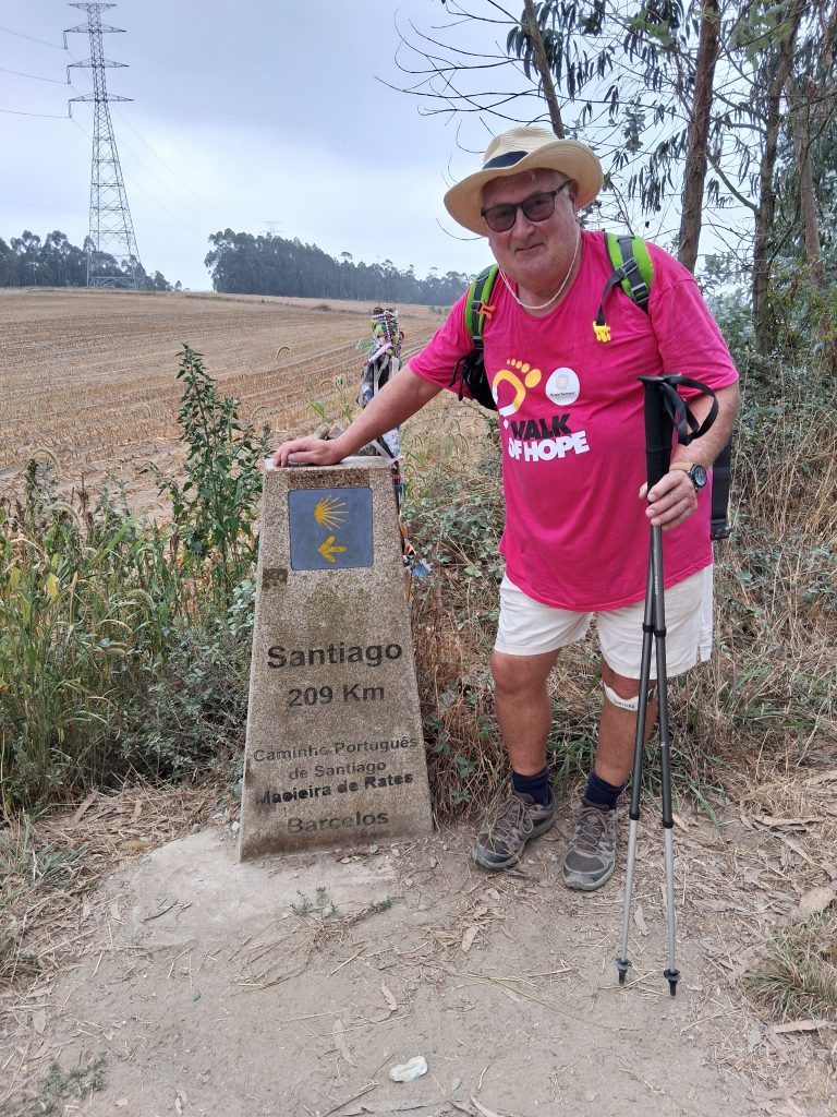
Day 3. Sao Pedro de Rates to Barcelos. It’s much cooler and nicer for walking. Locals say yesterday was the hottest in 10 years. Early morning cloudy sky’s kept the sun back but still very humid. The fields have kiwi fruit and some lime trees (I think). This was the longest distance so far and the terrain was varied and difficult at times.
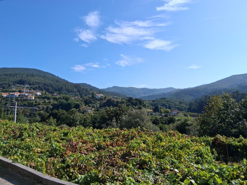
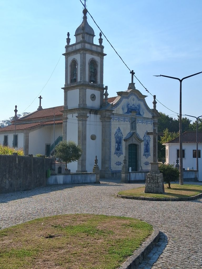
Day 4. Barcelos to Vitorino dos Piaes. Another beautiful day for walking. Longest one to date at 12 miles. The scenery has changed, the villages have churches and some steep climbs today. Tonight I stayed in Casa da Fernanda. The hostel provided a Pilgrims meal and afterwards produced a guitar and a speaker and we sang some songs. Fernanda was great and this was probably the best Albergue.
Day 5. Vitorino dos Piaes to Ponte de Lima. Beautiful day for walking. I’m surprised ow much of this is “off road”. The scenery is stunning.
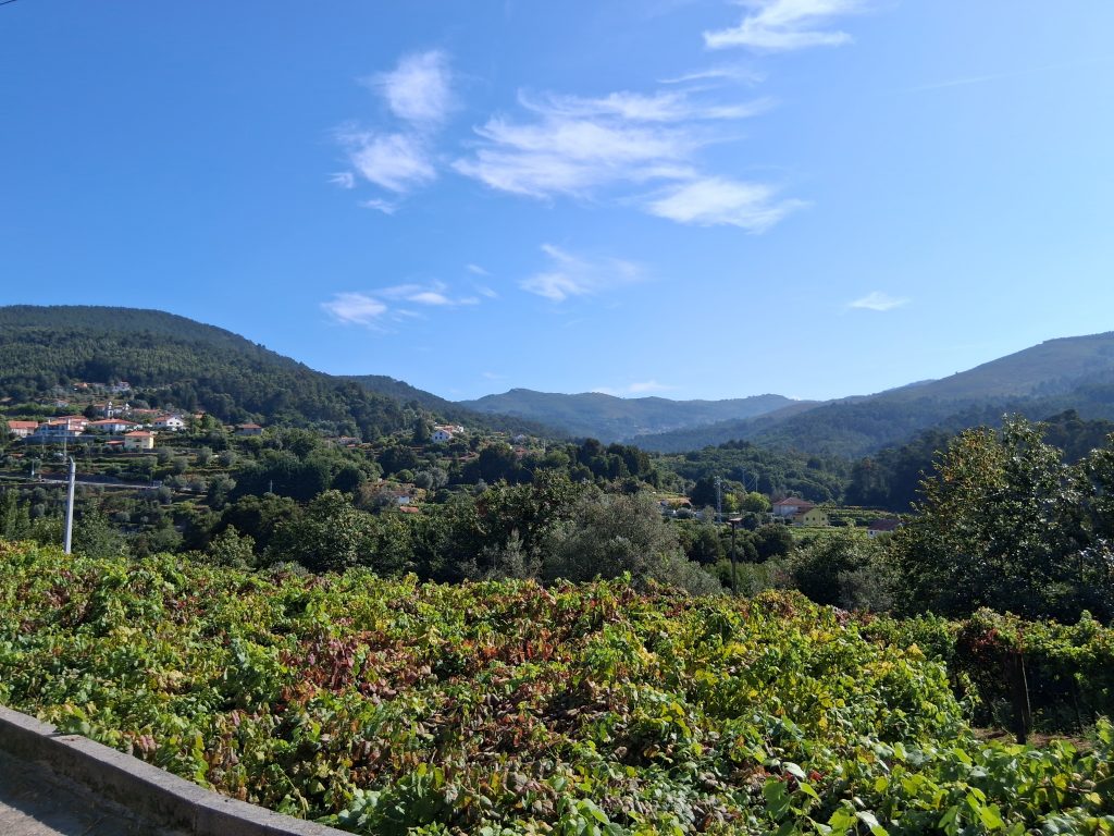
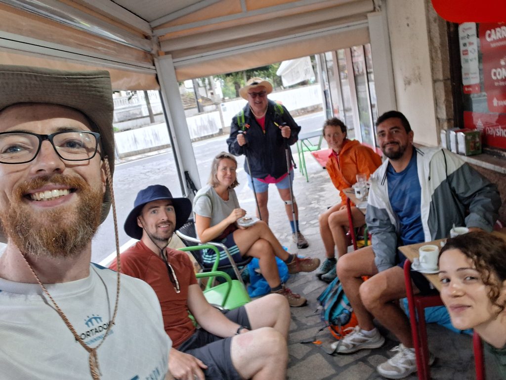
Day 6. From Ponte de Lima to Rubiaes 18.3Km (11.4 mls). Ponte de Lima was lovely, the river had a beach and I took the opportunity for a dip. Today crossing the mountains to Rubiaes was always going to be a challenge and it was tough . Tomorrow has another climb at the start but then I start to come back down. Each day I meet new people and some I have already met, I meet again. We are developing quite a relationship and there is loads of support for me and my chosen charity.
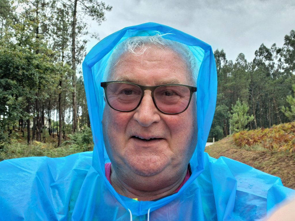
The weather has changed and I have to find a poncho as everything is getting soaked.
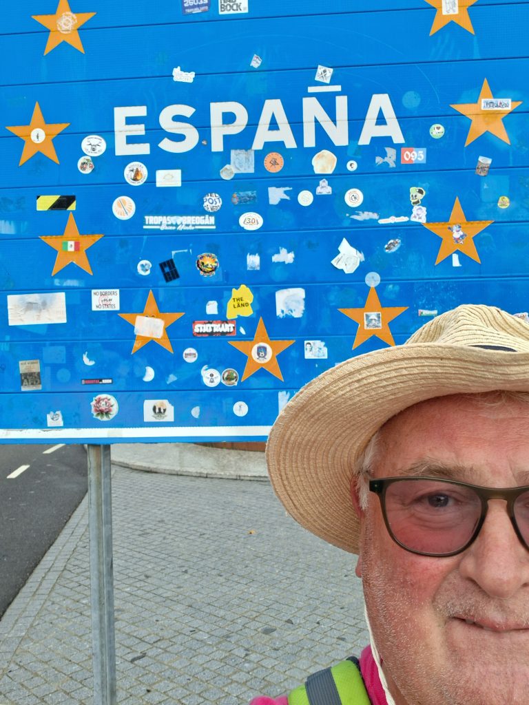
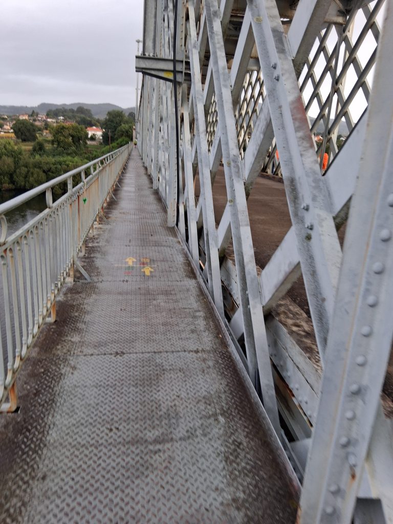
Day 8. Valenca to O Porrino. I’ve crossed into Spain and the weather is closing in now. It’s almost constantly raining. I leave early to try to beat it. Highlight is definitely the 800 year old church in TUI.
Day 10. Redondela To Pontevedra. I have no new injuries, the knee still a bit sore but manageable. I have some IT issue in that my phone didn’t charge overnight not sure why, so working off backup power. It’s got so wet, I’m amazed its still going at all. Got up and headed off early to try to avoid as much rain as possible. I got 2 hours in before it opened the heavens. The Camino is meant to be a challenge and it’s certainly that 😉
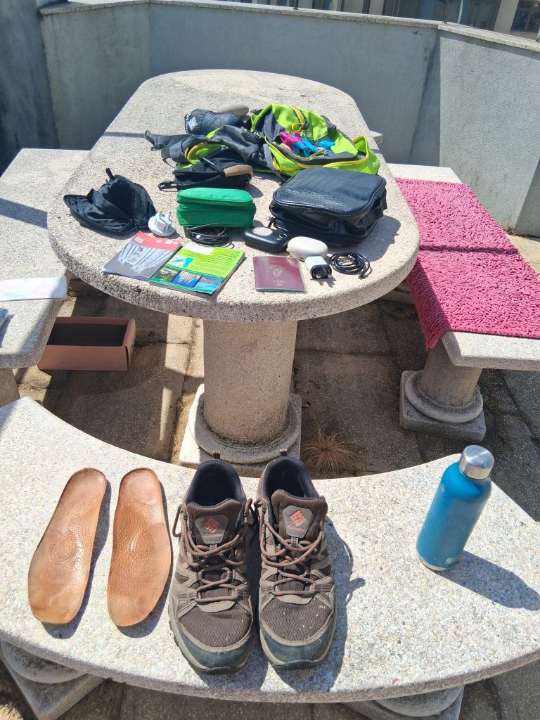
Drying everything out whenever the sun comes out becomes a daily priority. I have been given Zip pockets for my passport and docs as they are getting soaked!
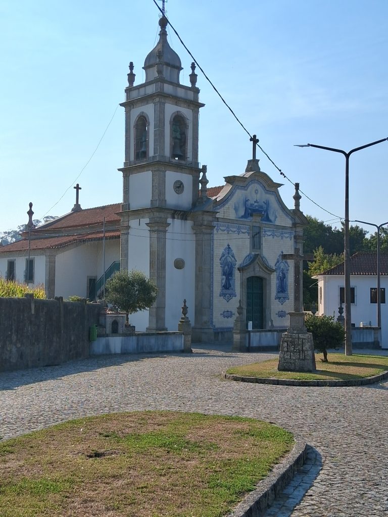
Day 13. Padron to O Faramello. Seen some spectacular churches on this trip but this one is special. Also ran into two ladies from Tipp. Finally can see my destination on the map. Still lots of rain. Ugh!!!
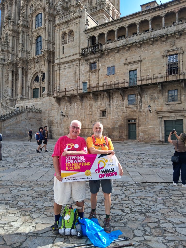
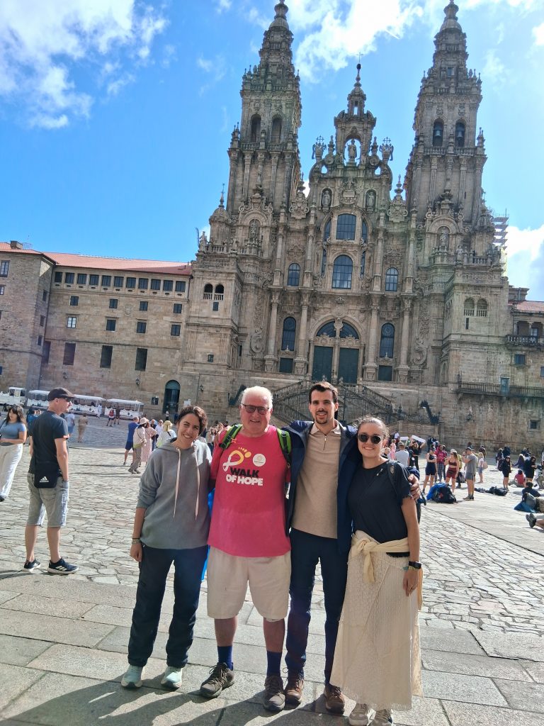
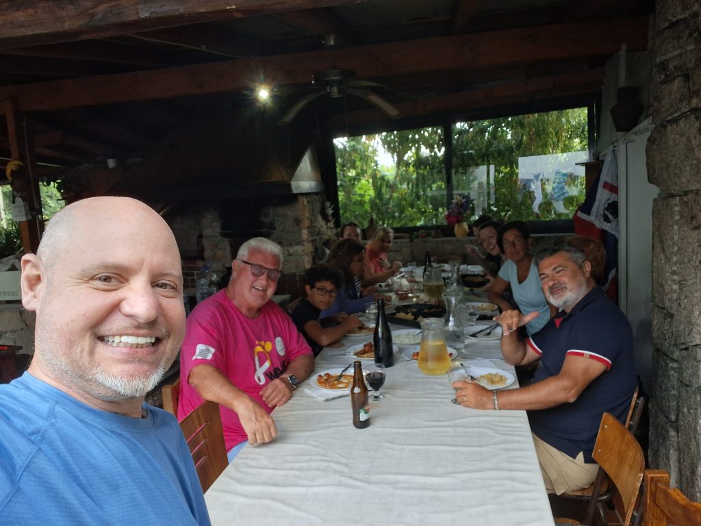
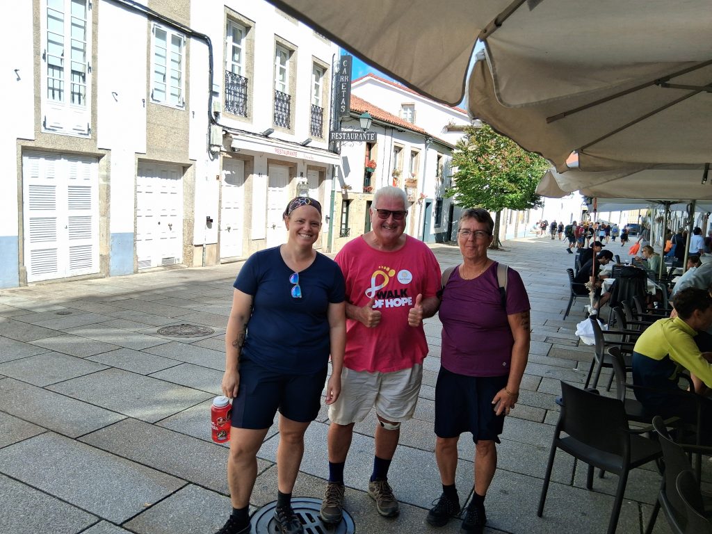
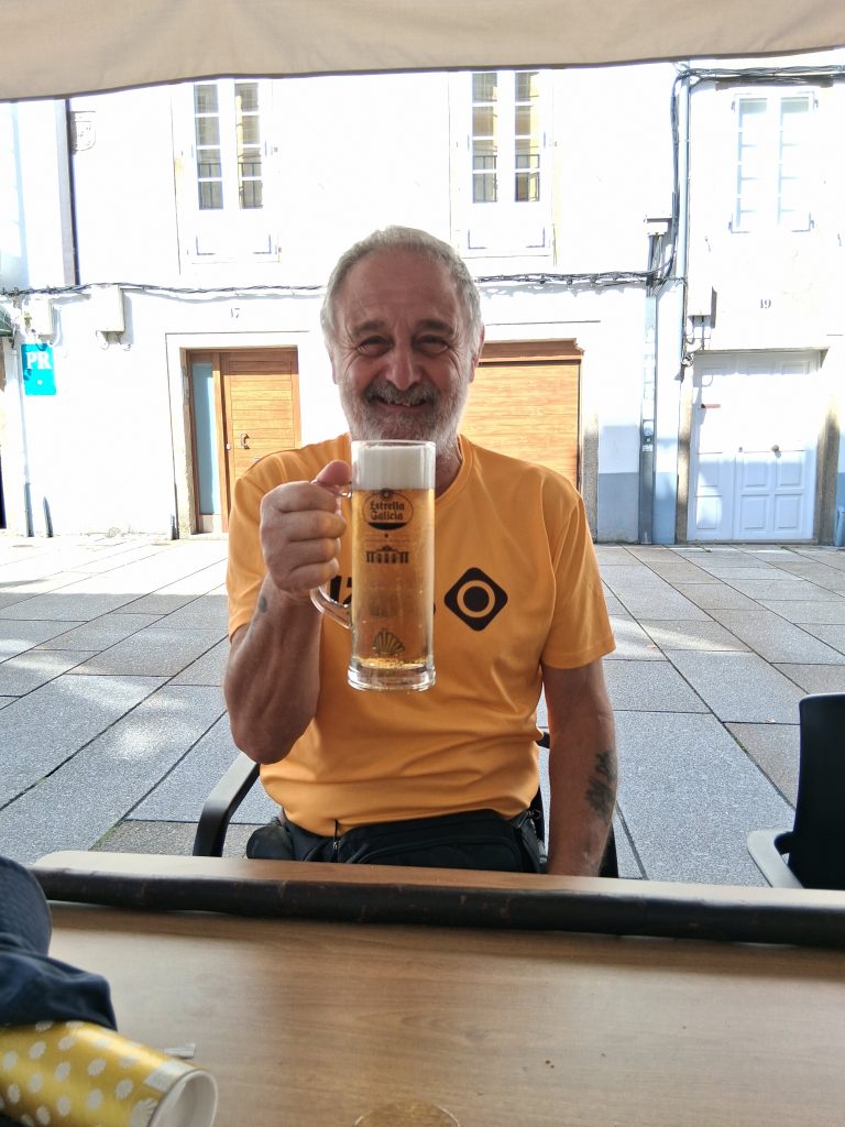
Day 14. So I’ve only gone and done it! Quite an emotional day really after the last two weeks and all it’s challenges. Made it to Santiago de Compostela and the sun even managed to come out. I’ve met lots of different people on this adventure and learned loads. Here’s some pictures of folks who are my new Camino Family.
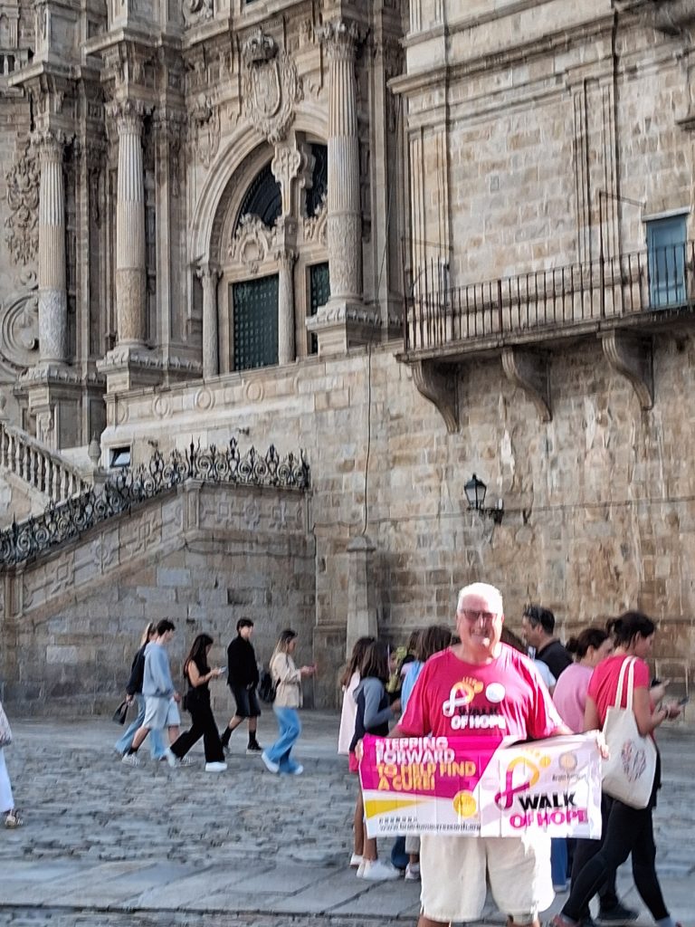
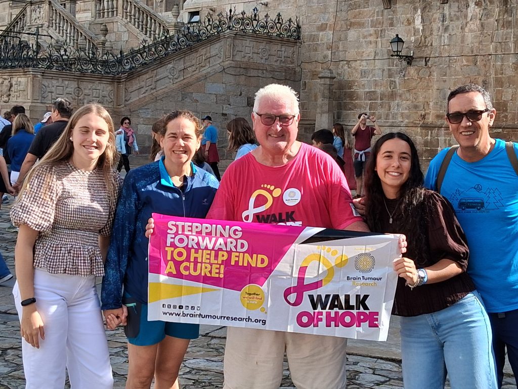
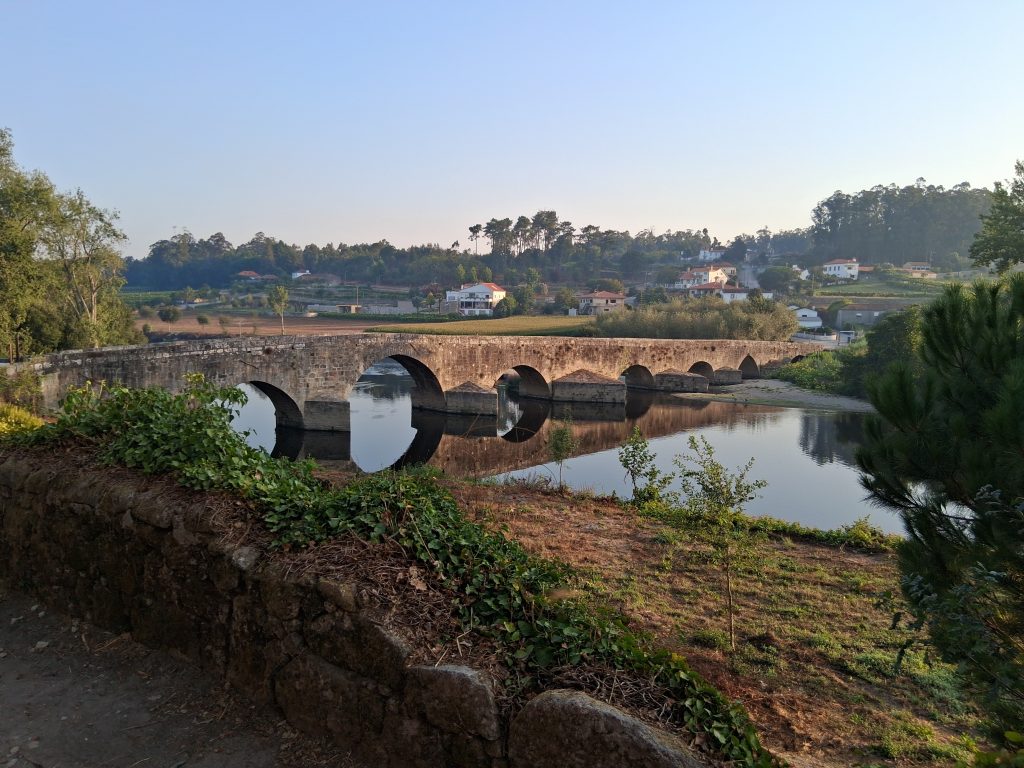
Day 2. From Vilarinho to Sao Pedro de Rates. My strategy is to start early and get as many miles in before the sun is high in the sky. Photos taken at sunrise over the stone bridge don’t do it justice. It really was special. That night I stayed in Albergue de Peregrinos de Sao Pedro de Rates (Pilgrims’ Hostel of Sao Pedro de Rates).
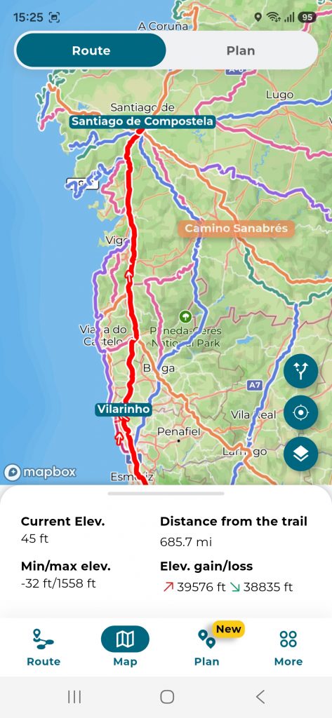
I’m using and app called Camino Ninja. I have plotted the whole plan, day by day and adjusting as required. The app very helpfully shows the elevations so I can mentally prepare for the day!
The scenery changes to mountainous and the walking becomes more rugged.
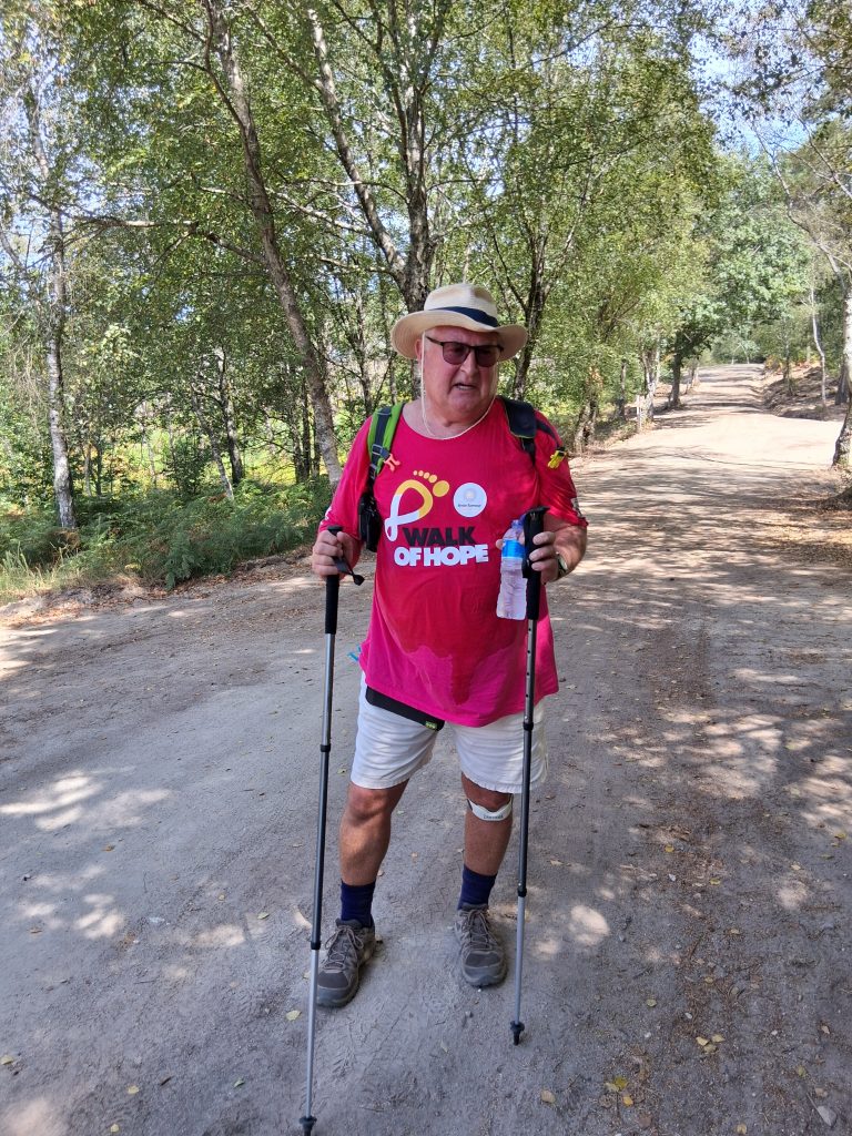
Day 7. Rubiaes to Valenca. Last day walking in Portugal before crossing into Spain tomorrow. Valenca is beautiful and I have had an opportunity to wander and take it in before having a lovely dinner. I’m staying in a rooftop flat which has stunning views but the weather is definitely changing and I got wet today. Just drying everything out.
Tomorrow I’ll be crossing the bridge into Spain
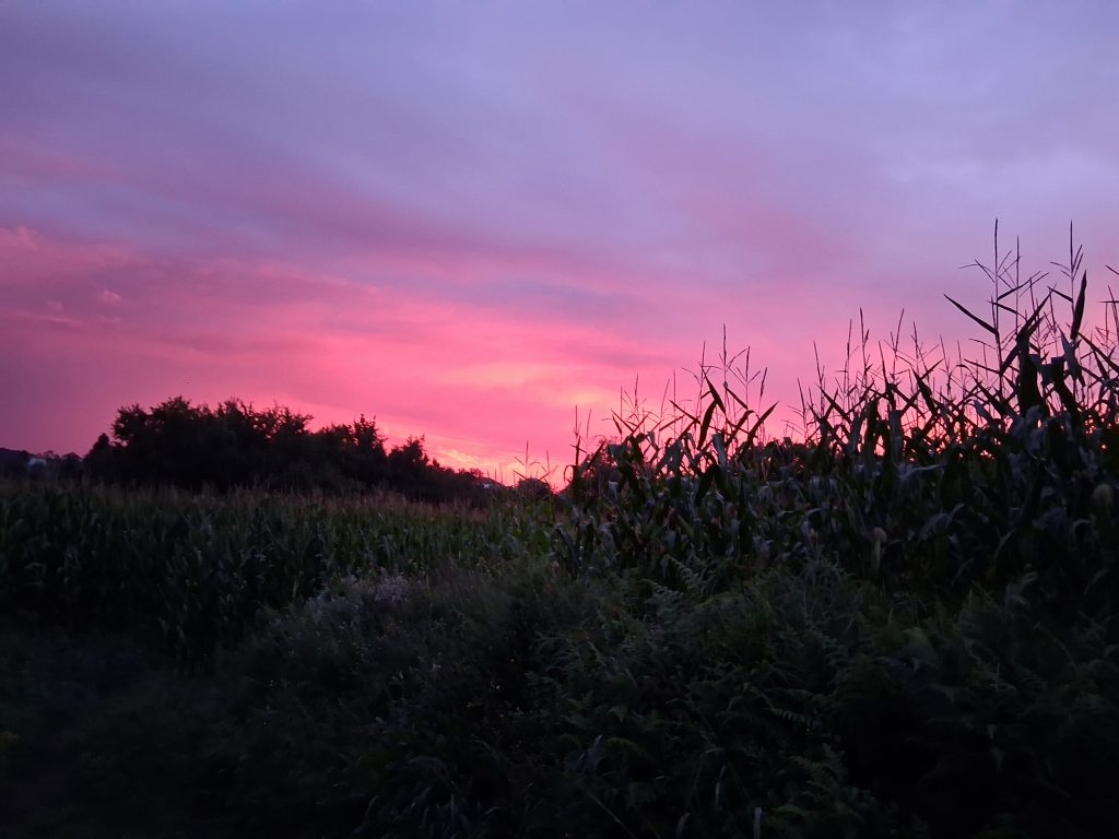
Day 9 From O Porrino to Redondella just about 10 miles. Some mood photos. I left Porino in the dark to try to avoid the rain. It kinda worked. Just as I came down into Padron it opened the heavens and didn’t stop after that. I have been given lots of things along the way but some young Spanish students gave me two sachets of honey. Great to get the sugar rush just when I needed it. Now well over half way! Bring on day 10 to Pontevedra.
Day 11. Pontevedra to Caldas de Reis. Left the hostel early to get a good start. Pontevedra is lovely and I would come back here. Lots of paved streets and pedestrian areas. Quite a climb out and just under 14 miles covered. Phone sorted thanks to two lovely Italian ladies, a hair dryer some kitchen towels and a plastic bag…no idea….but it’s back in action. Tomorrow has another early climb before dropping back to Padron for the night.
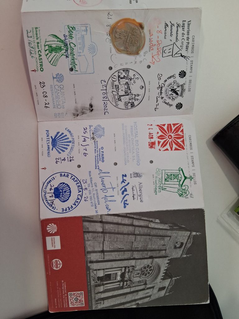
Day 12. Caldas de Reis to Padron (circa 12 miles). There are now lots and lots of Pilgrims. Mainly Spanish. Consequently and because of the rain the path has become very muddy and slippery in places. I mentioned at the start I collected my Pilgrim Passport in Porto. I’ve been getting stamps along the route and thought I’d share an update! I am almost at the top and I know I have about 5 miles still to go. Tomorrow is Padron to O Faramello a gentle 7 miles on fairly flat ground! ( but it’s day 13, I’m not superstitious)
The route is marked by many things. Scallops and yellow arrows are the main two. There are also milestones which show you how far you have to travel.